Illustrated Travel Map of Atlanta’s Hiking Trails
Background
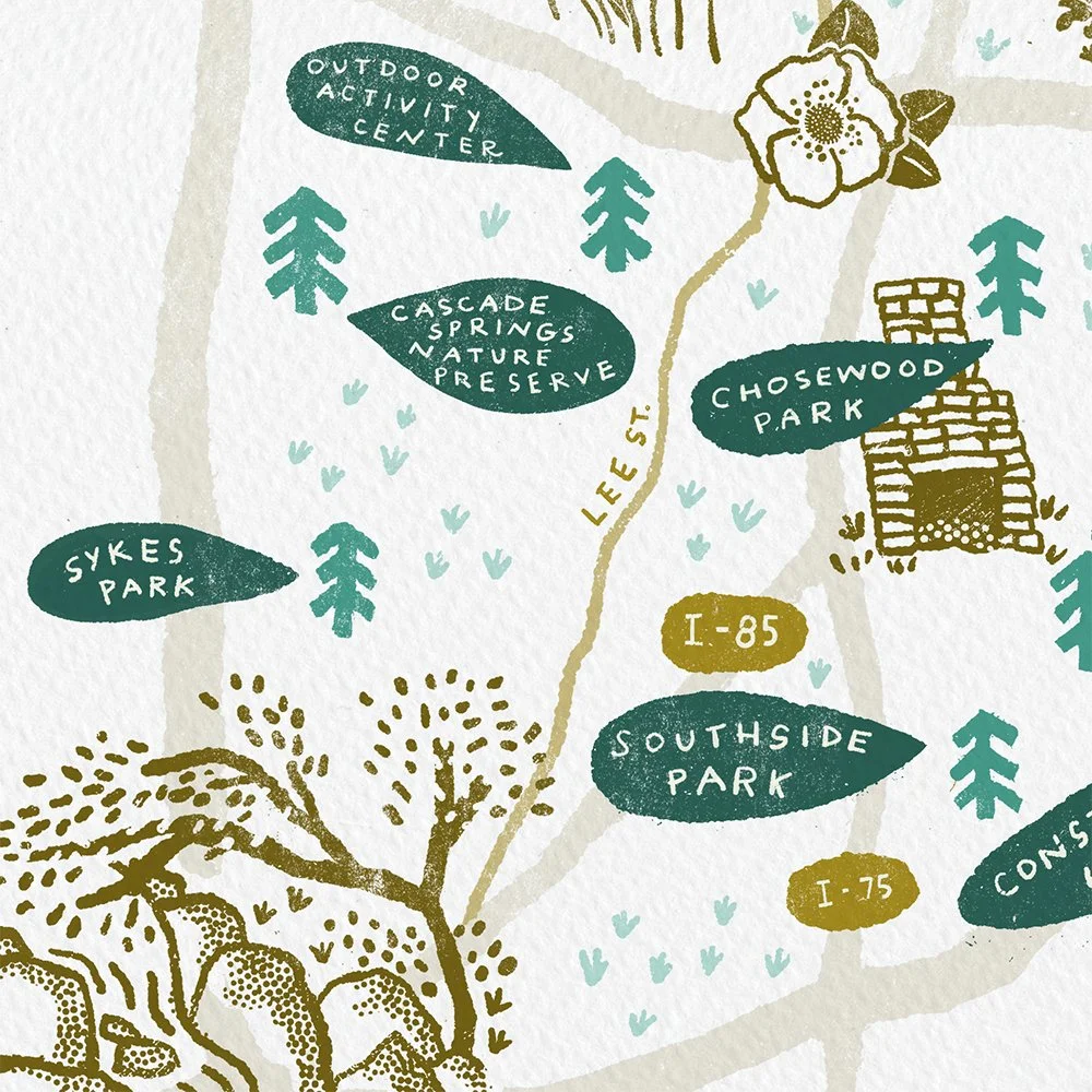
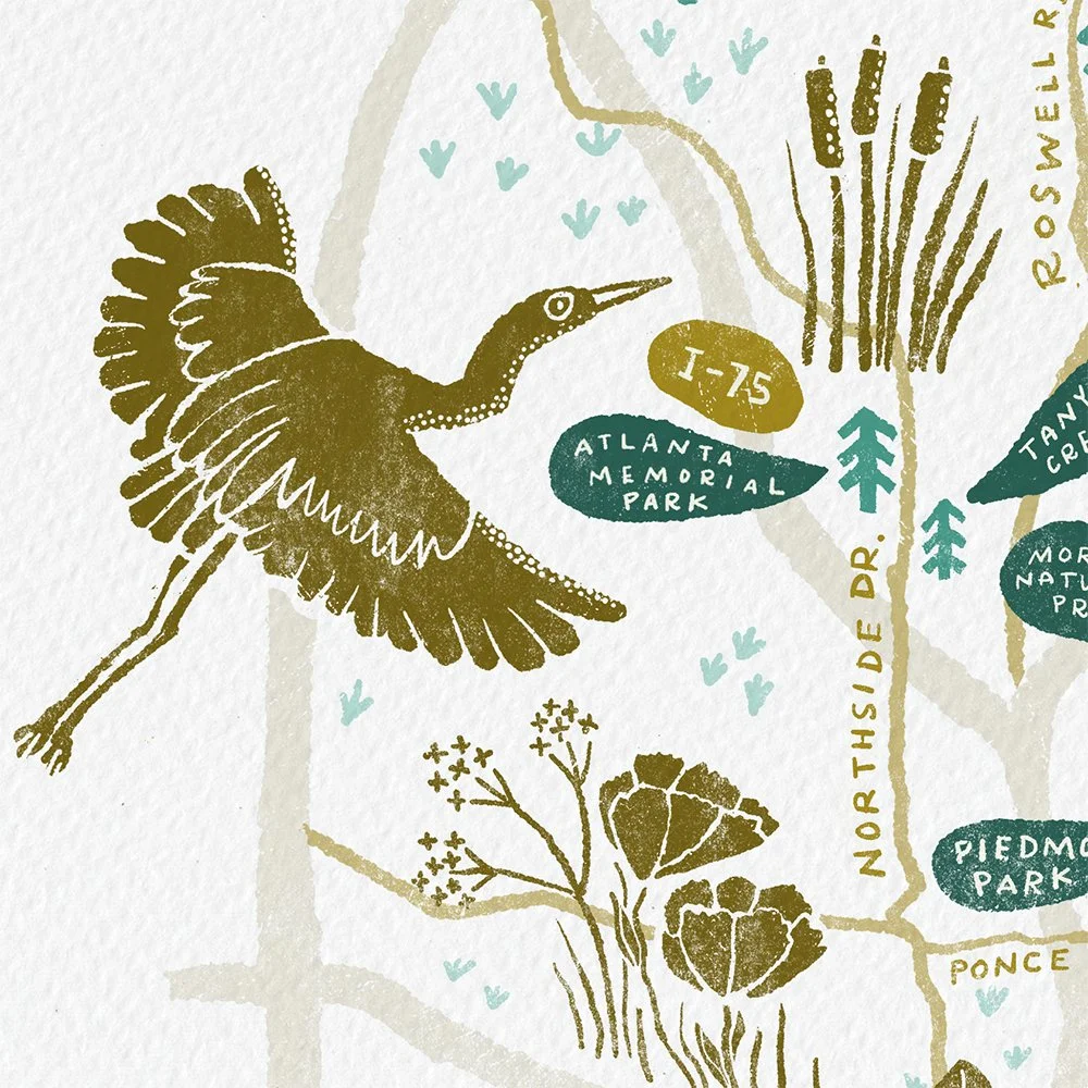
When my son was younger, we used to visit a different trail almost every weekend. And I found that I was always telling friends about a new trail I discovered. That’s when I got the idea to map these out. I wanted a mental picture of where they were in relation to one another and to the rest of Atlanta.
I also wanted to bring attention to Atlanta’s identity as “The City in a Forest.” Its dense tree canopy is unlike most metropolitan centers. It is worth celebrating.
P.S. “ITP” is Atlanta-speak for “Inside the Perimeter of I-285,” which is the understood boundary of the greater Atlanta area.
Process
I sketched and drew everything in Procreate. There was no AI used in the creation of this piece.