 Image 1 of 4
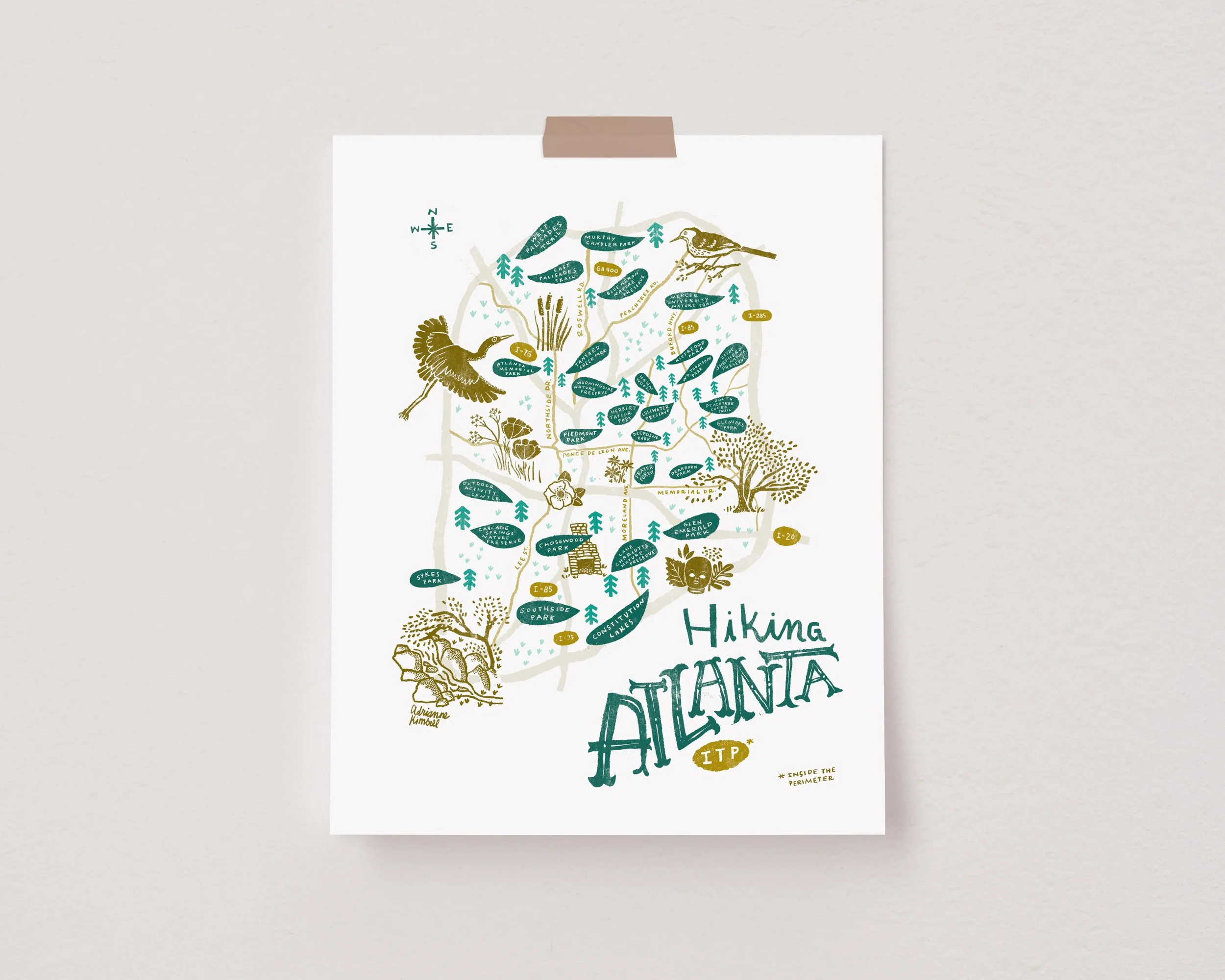
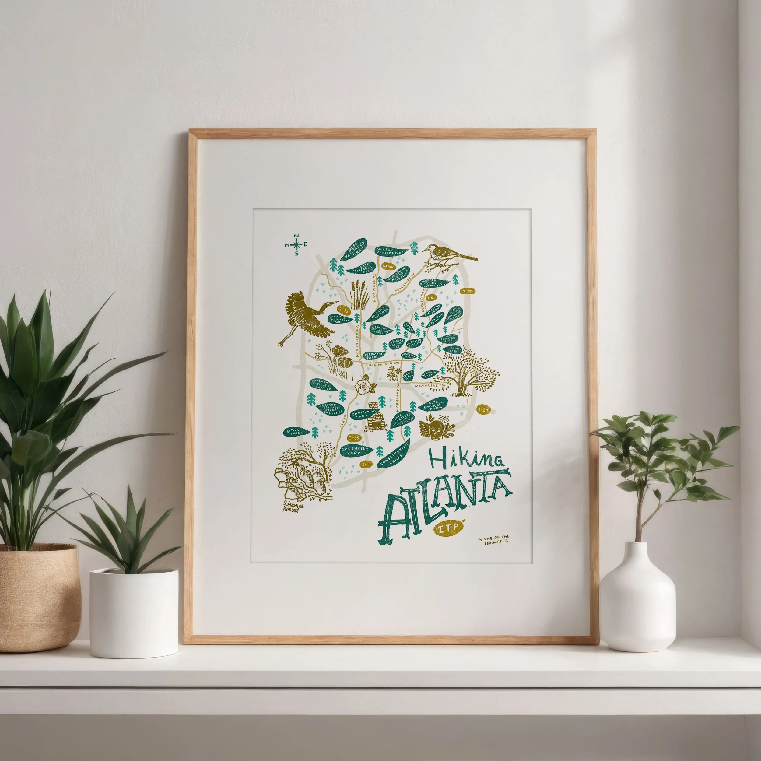 Image 2 of 4
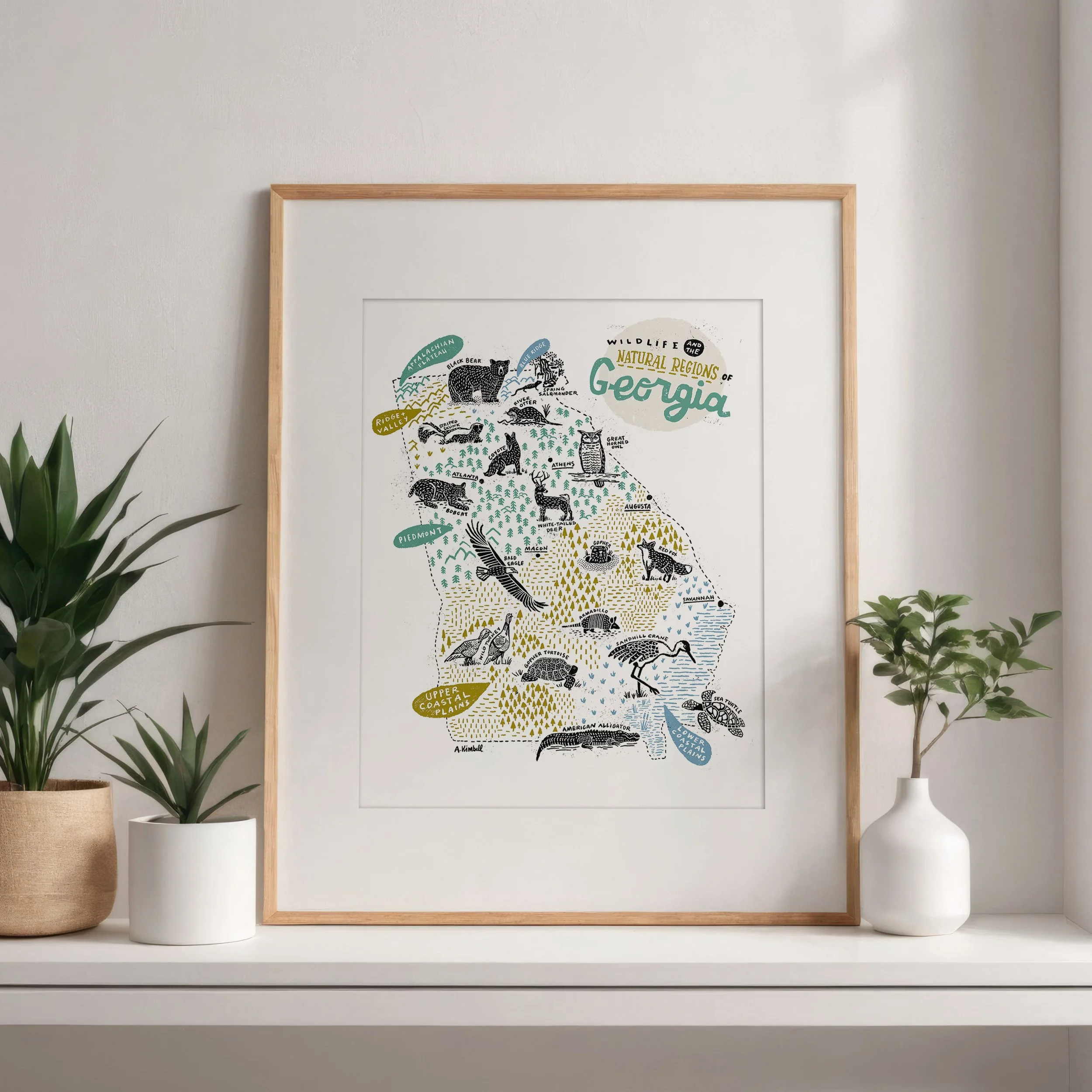
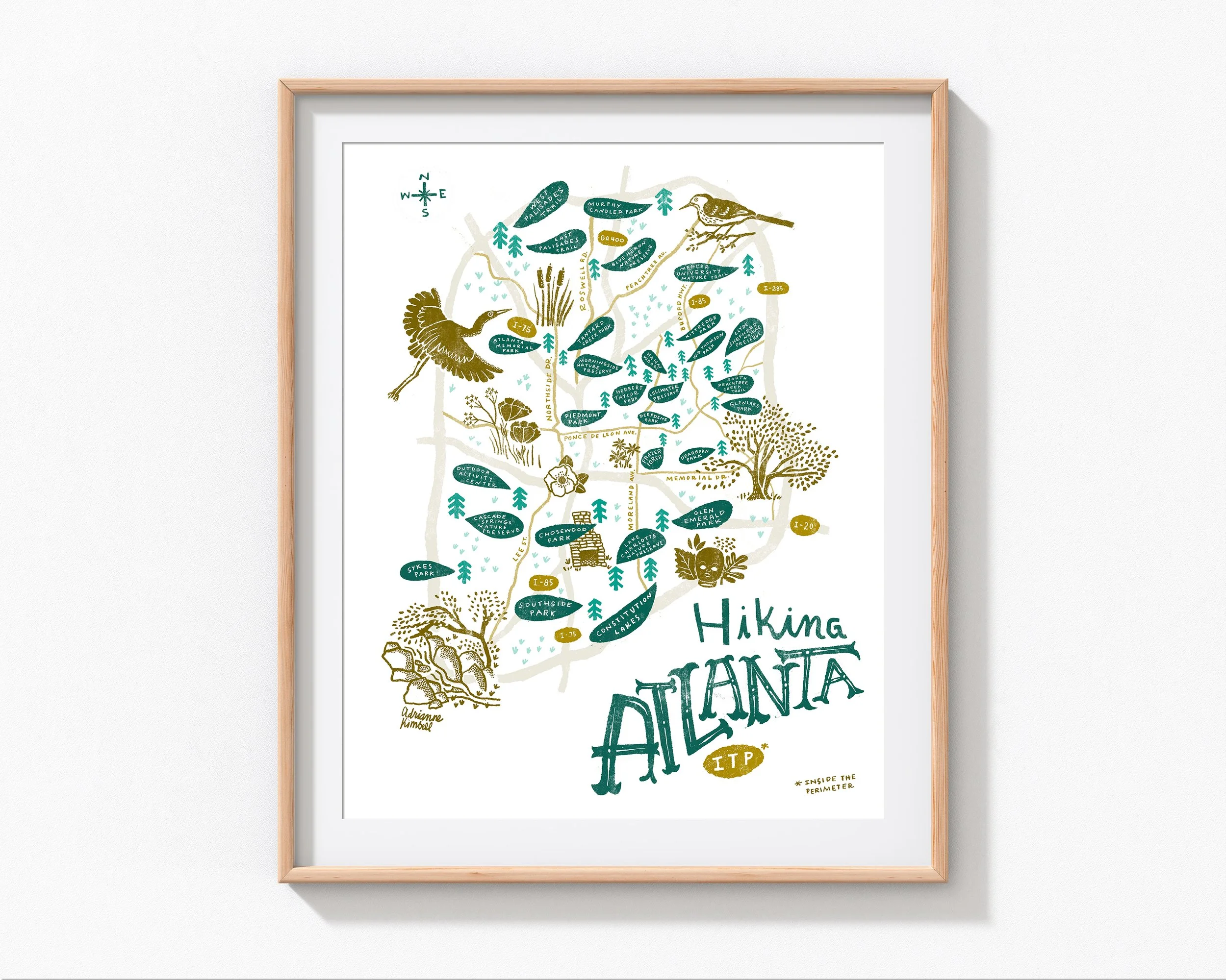 Image 3 of 4
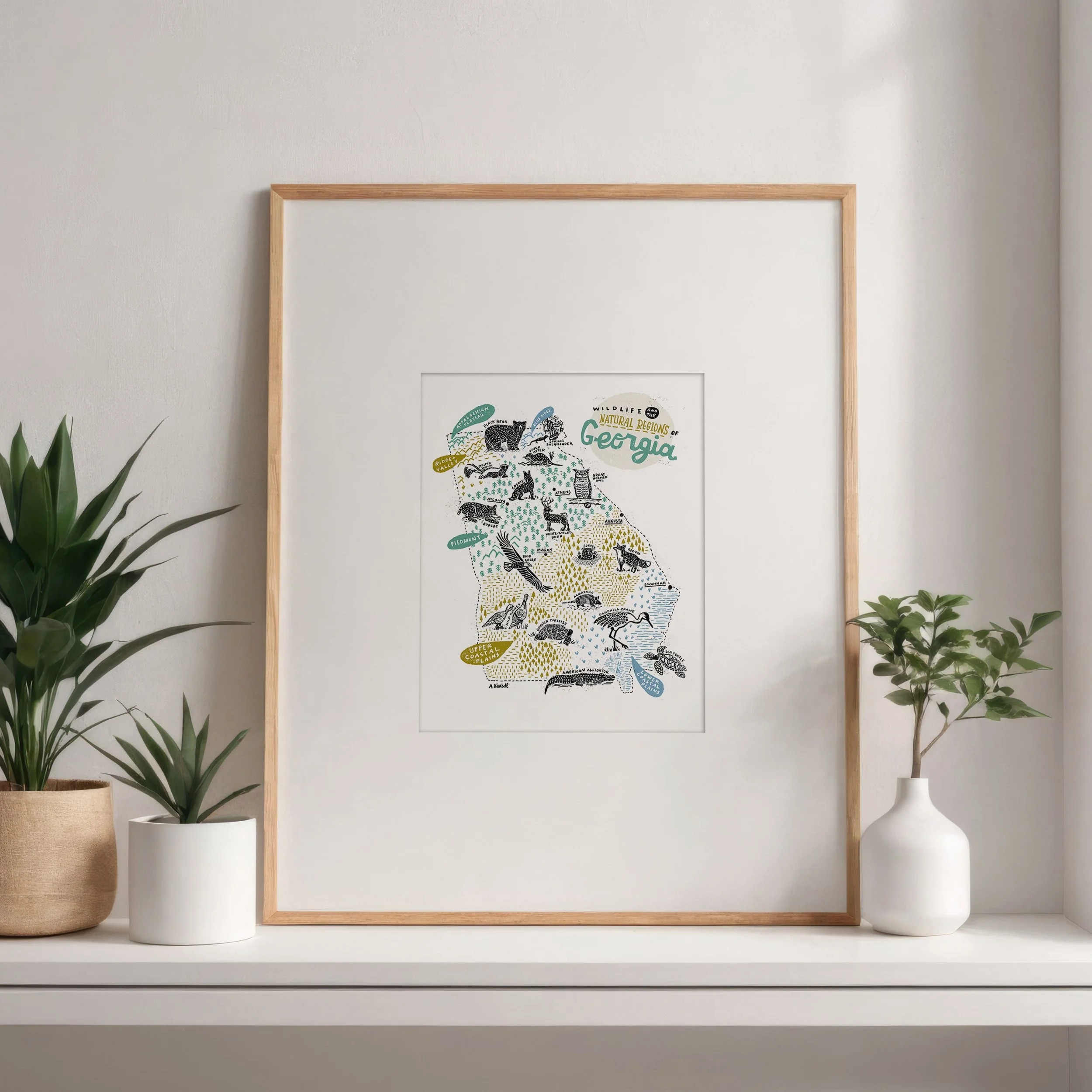
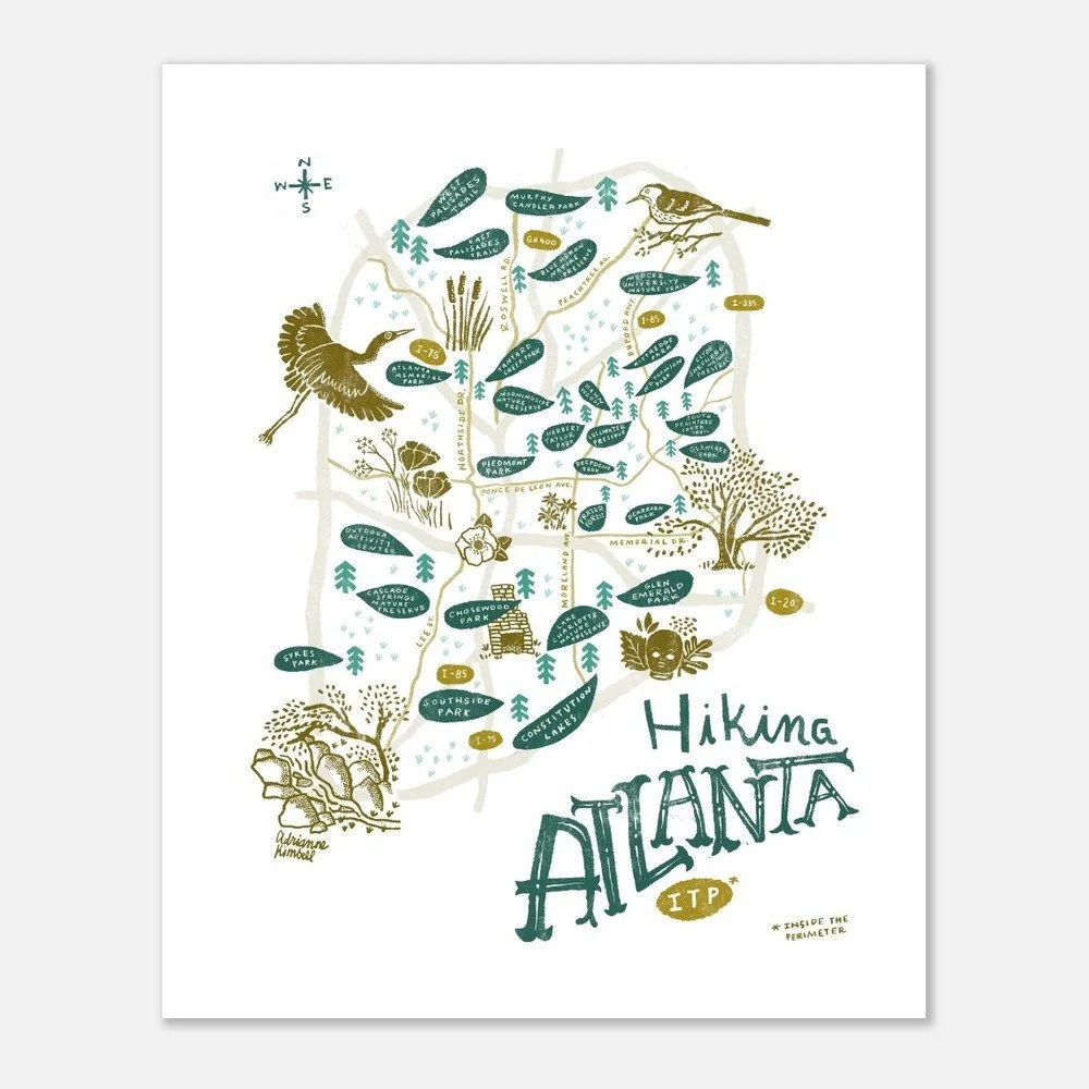 Image 4 of 4
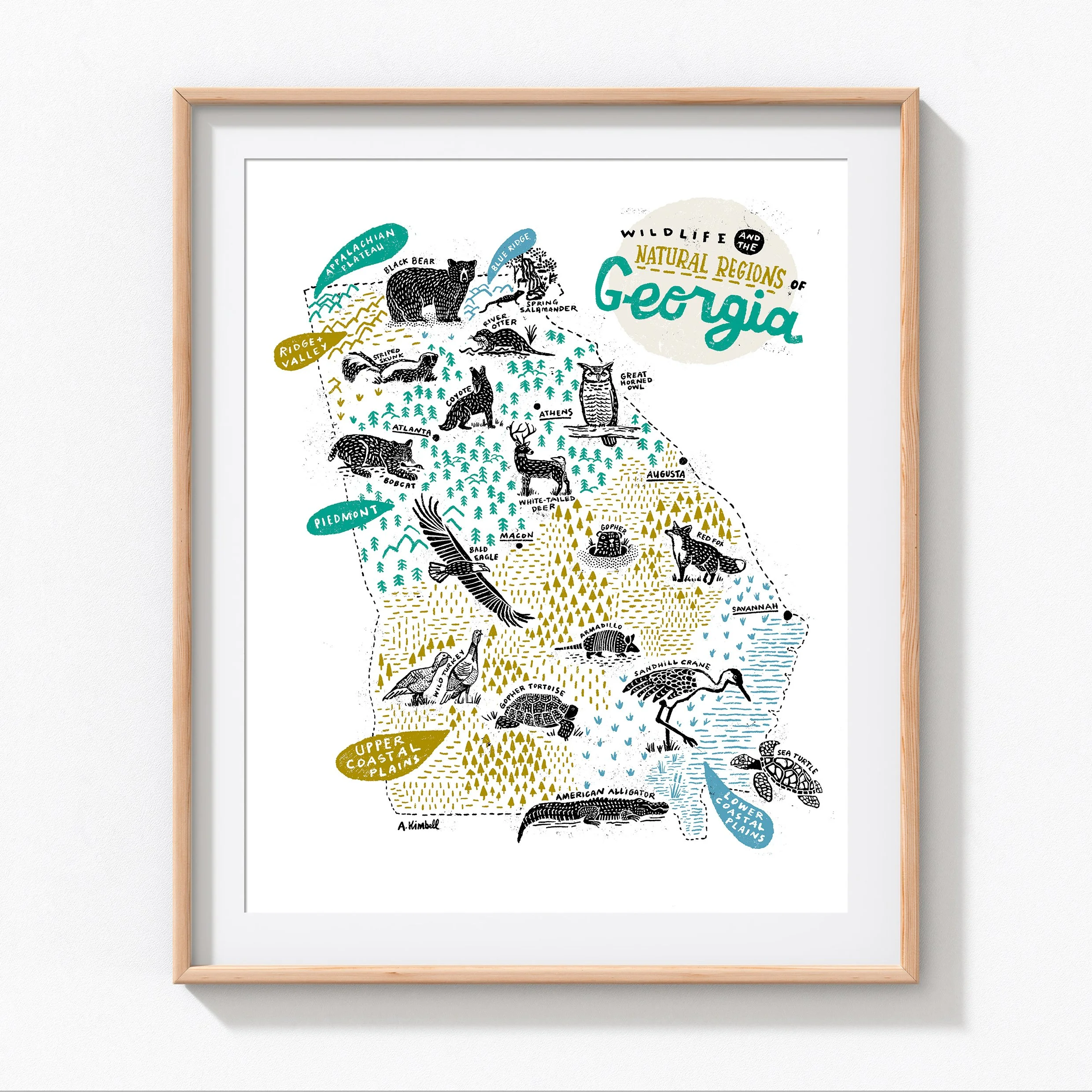
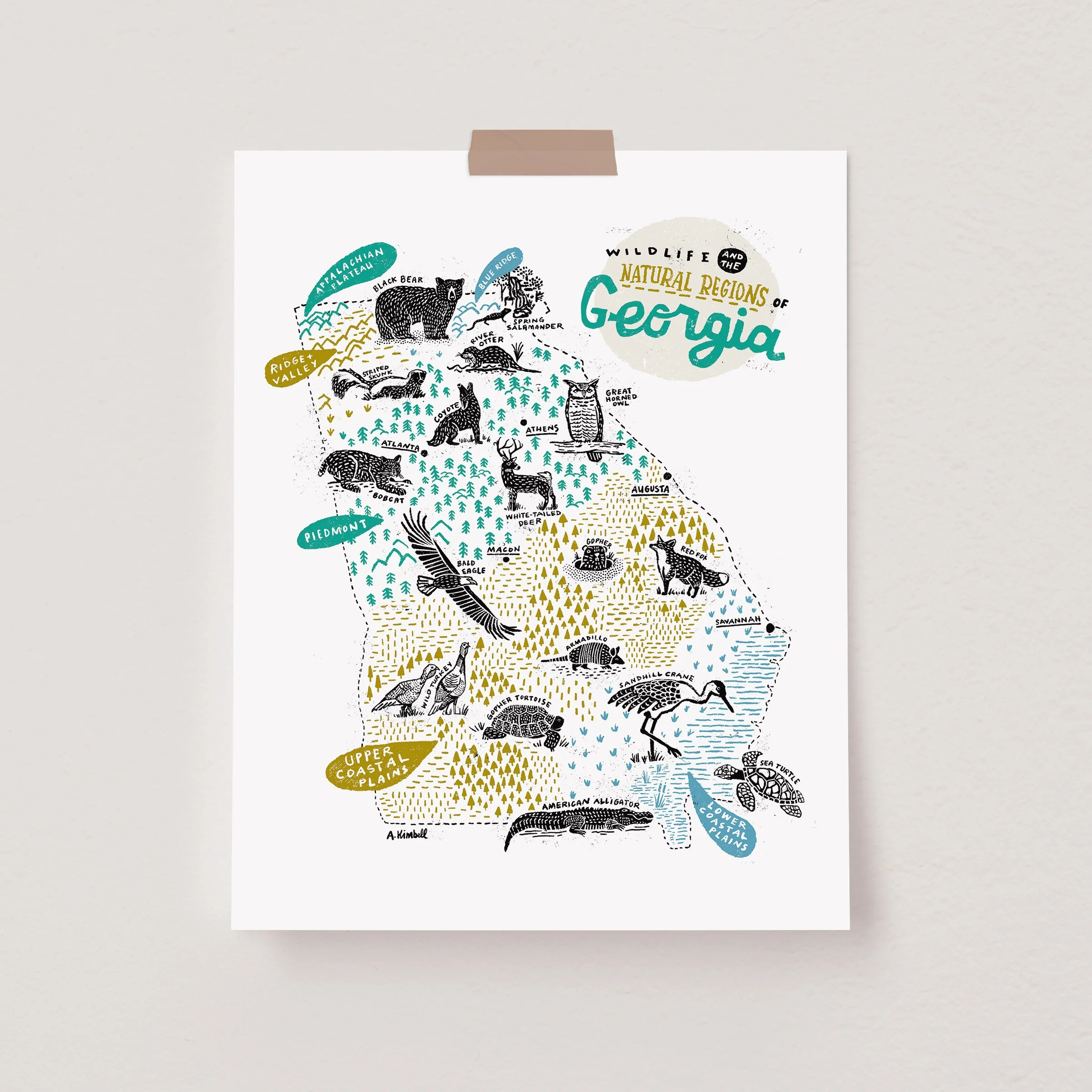
Atlanta’s hidden wild side — inside the Perimeter!
This illustrated map highlights 20+ of the best places to hike inside I-285, from shady forest trails to riverside paths and urban nature preserves. Punctuated with illustrations of local wildlife and landmarks, this map is my way to celebrate the beauty and variety of Atlanta’s many green spaces.
Perfect for hikers, nature lovers, and proud Atlantans alike, this print is both an art piece and an invitation to explore. Hang it in your home, office, or gift it to your favorite trail buddy—it’s a conversation starter that will have you planning your next adventure.
Hand-designed, lettered, and illustrated by Adrianne Kimbell
Two sizes available: 11”x14” and 16”x20” (unframed)
Printed in the USA on smooth uncoated 100 lb. paper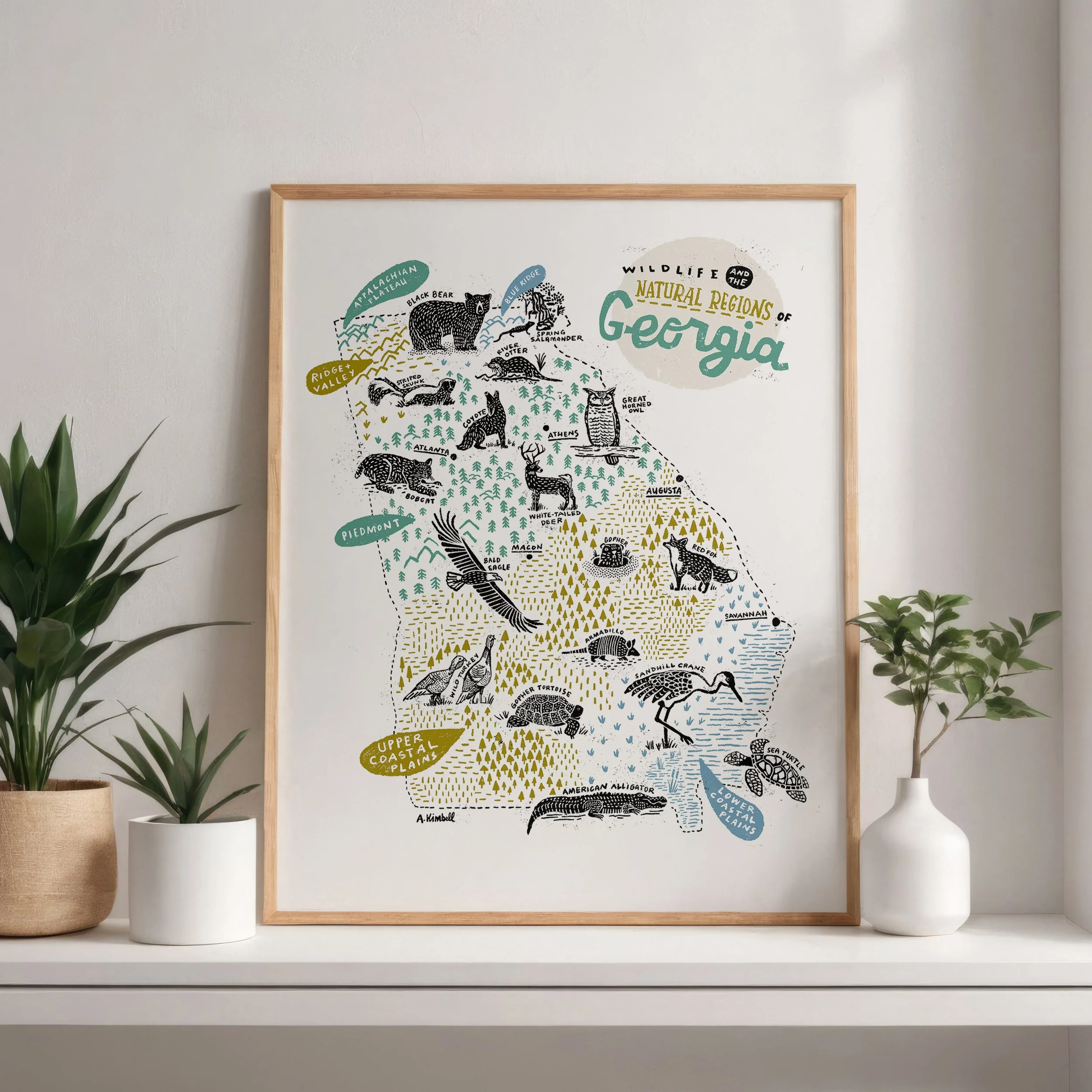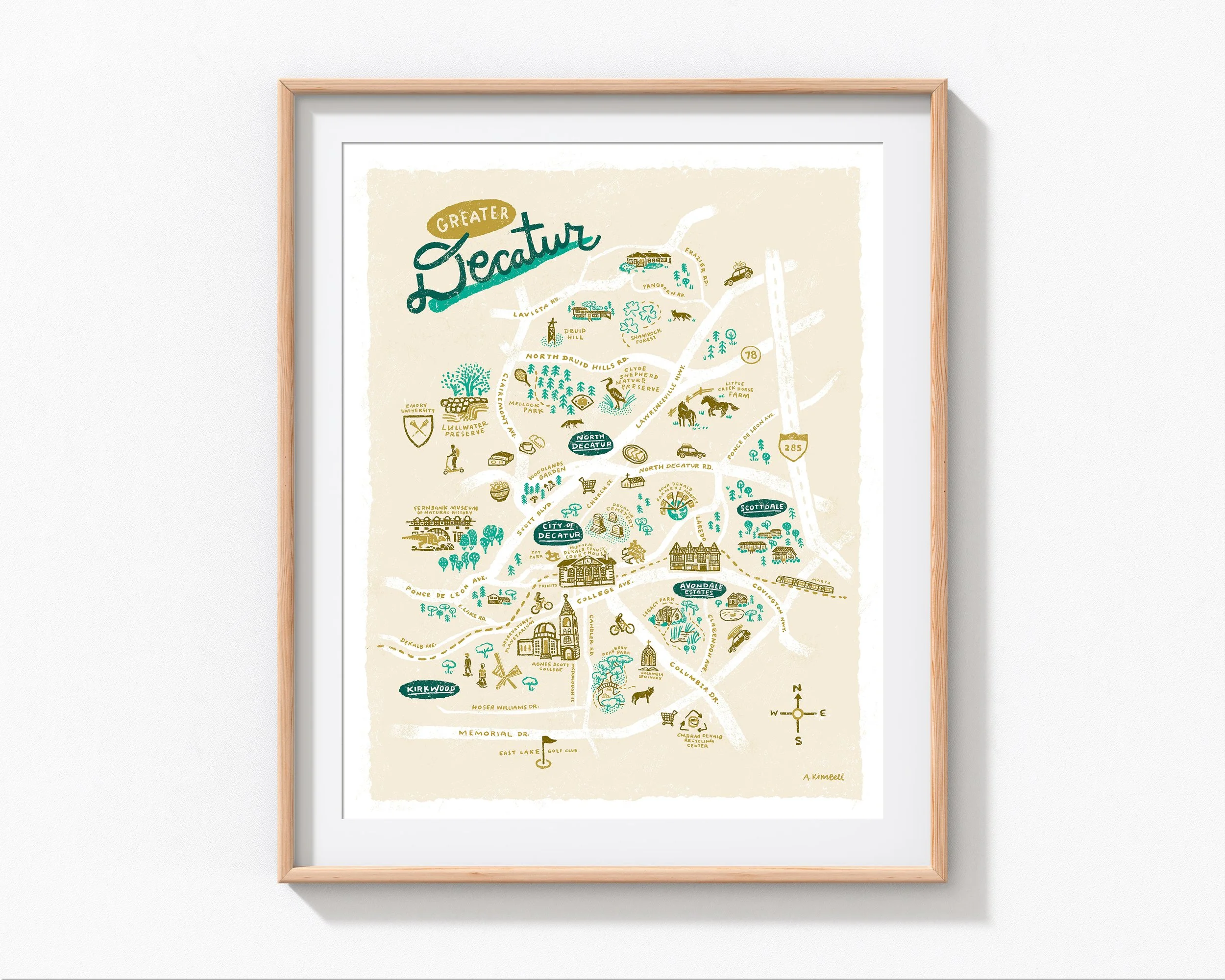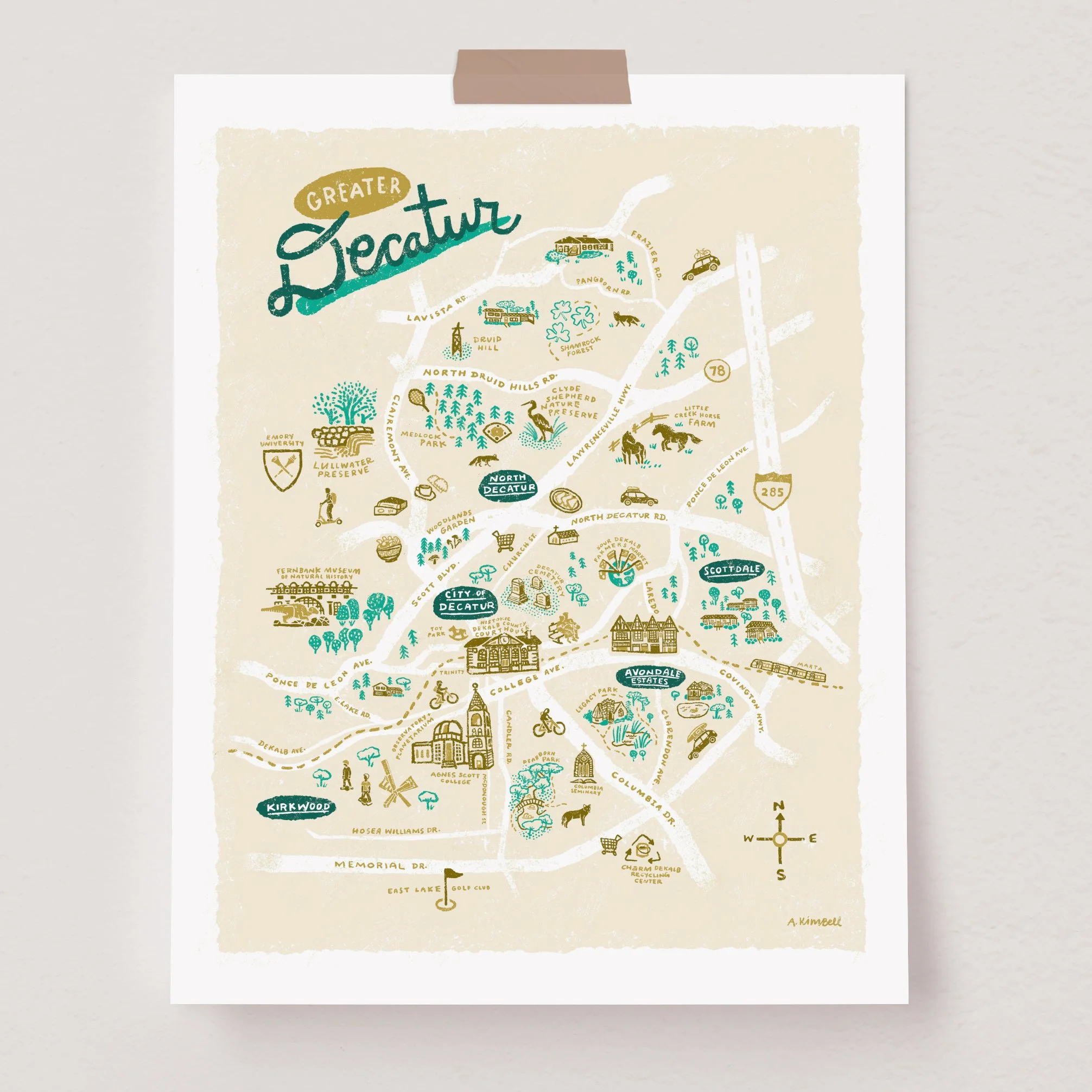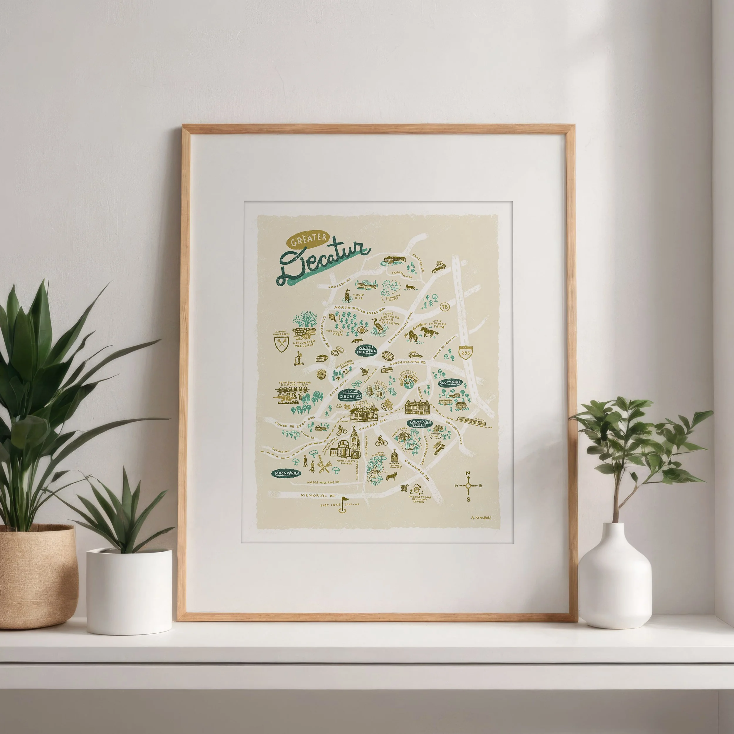